Drone Control Interface
Drone Control Interface Swinburne Capstone Project
Tasks: UX/Interaction Design & Testing, Architecture Design, Key programmer As a final industry based project during my Computer Science degree. I was involved in developing a prototype AR/VR solution with 4 other team members.
The brief was to design an Augmented Reality solution for emergency and other personnel to remotely control land based drones. The below video demonstrates the solution at a stage of one month prior to delivery.
While the above video demonstrates the second prototype at one month before final delivery, the below video is what I created to pitch the initial concept to my teammates 6 months prior.
Initially, the team was not convinced of the plausibility of the concept, so we allocated time for me to continue development in this direction on my own. Below the video a mobile phone implementation of a 1st prototype is shown that I built as a lo-fi technical proof of concept.
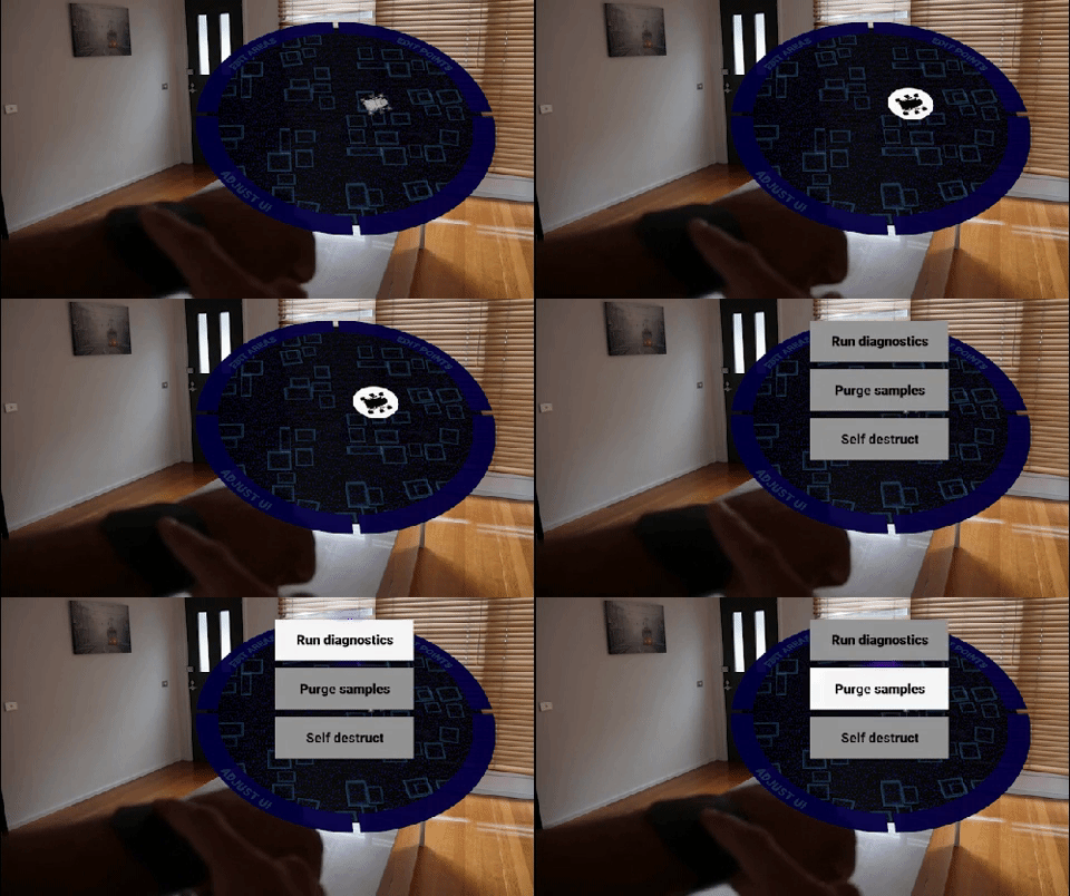
As the the project progressed, the team decided to remove the requirement of incorporating LIDAR data and voice control and instead focus the final prototype purely on refining the multidevice & single device interaction methodologies.
I modelled some basic terrain for use in the prototype while another team member programmed the drone’s path finding algorithms to work with the terrain. Development was primarily focussed on VR but consideration was given to it’s AR application in the documentation and through basic testing.
While visualising the VR output is not possible in a 2D video, we simulated this in the below videos by using a computer screen in place of the headset and recorded both the controller device and screen output.
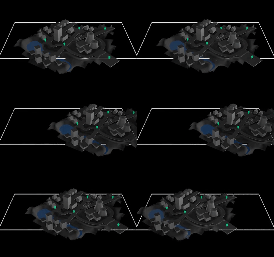
Since a VR headset means that the user cannot see the controller device in their hands, the interactions were designed to visualise touches like a laptop touchpad with absolute positioning, however, rather than requiring tapping the screen to activate buttons, it was designed to activate based on release - meaning the user can place their finger down anywhere, move it over an interactive element, and then release to activate. This ensures that the activation location is always known beforehand rather than the result of a blind press (since the controller can’t be seen through the headset).
This meant the controller device could show a black screen and be just as effective, or, as shown below, show a top down view of the terrain in either a single or multi device setup and be operable in the exact same way.
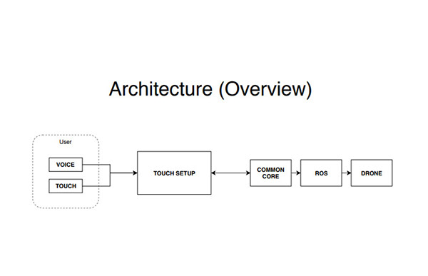
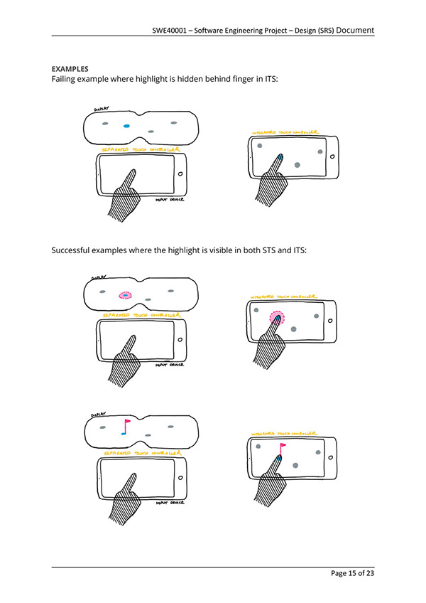
As the architect of the solution, I was responsible for creating various UML diagrams, flowcharts, and additions to documentations that communicated the approach, key terms, and concepts.
As an early prototype solution, the below documentation only reveals a general understanding of any future product.
As the prototype was refined, we implemented the styling seen below to display the concept as clearly as possible.
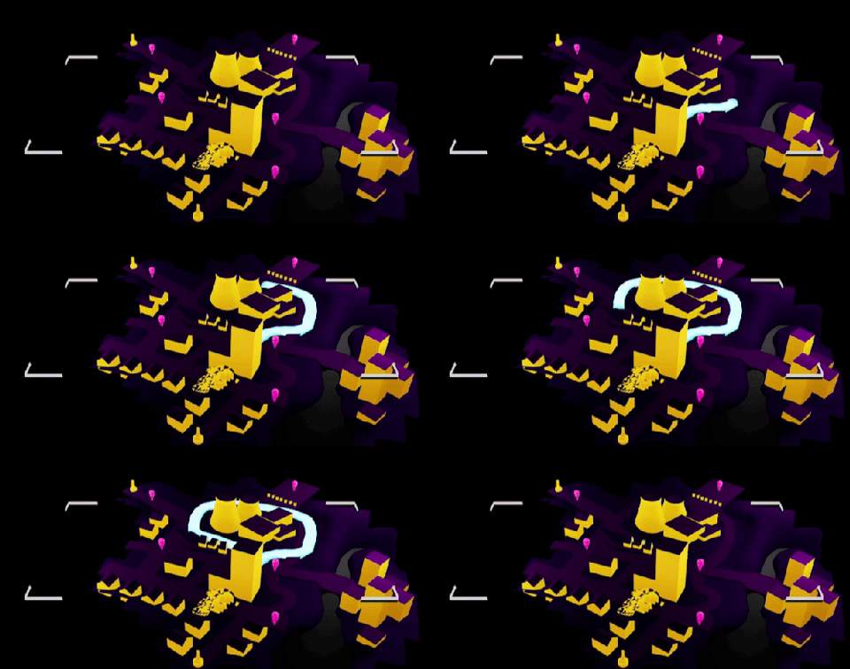
The below images demonstrate a Double touch and slide to draw a path, a Two finger rotate gesture to adjust the map, and a Single touch and slide to navigate or demonstrate to a viewer.
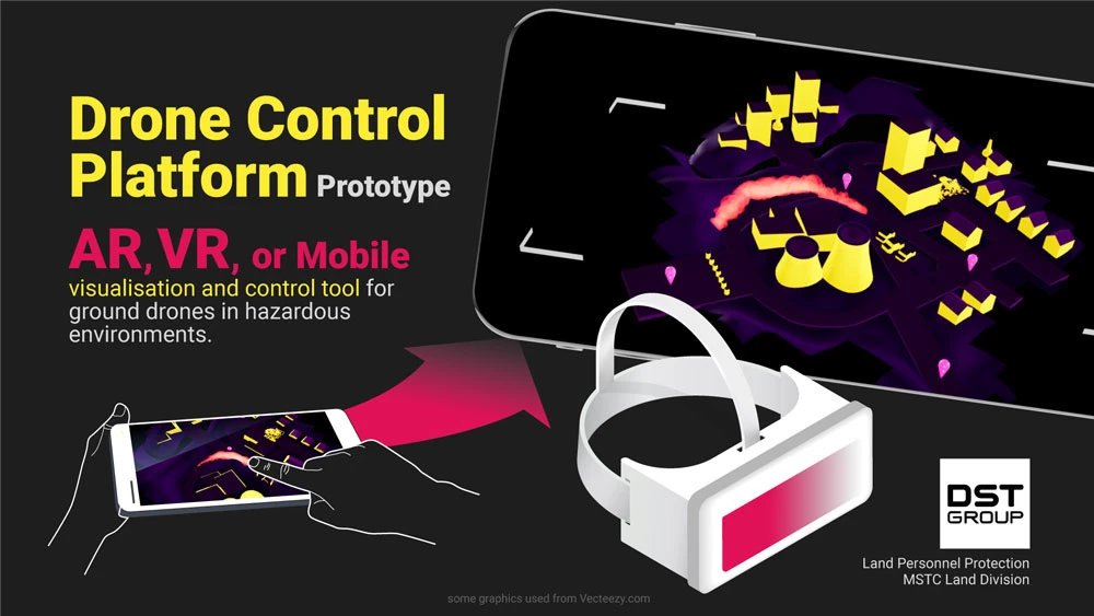
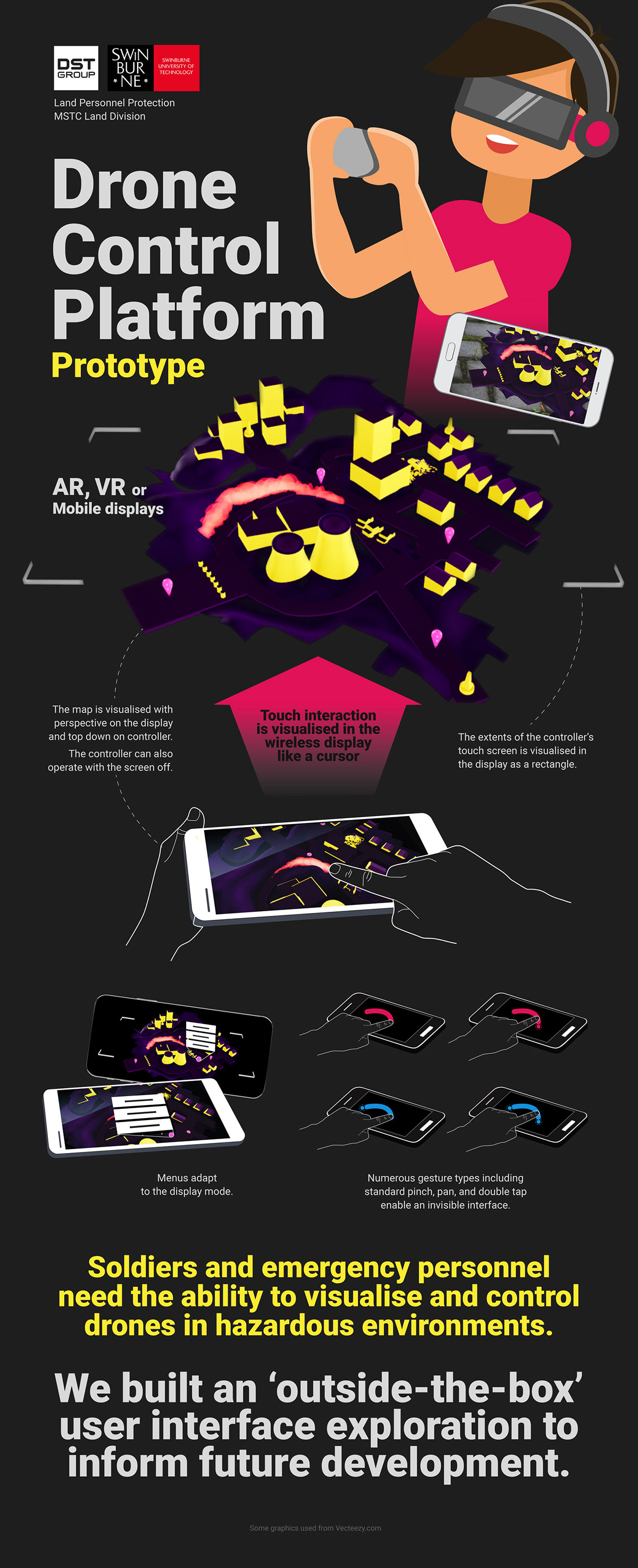
For final presentation of the prototype, I also developed the below powerpoint slide and banner artwork to help communicate the concepts behind the project to those unable to use the setup.